")
")
- Details
- Hits: 3803
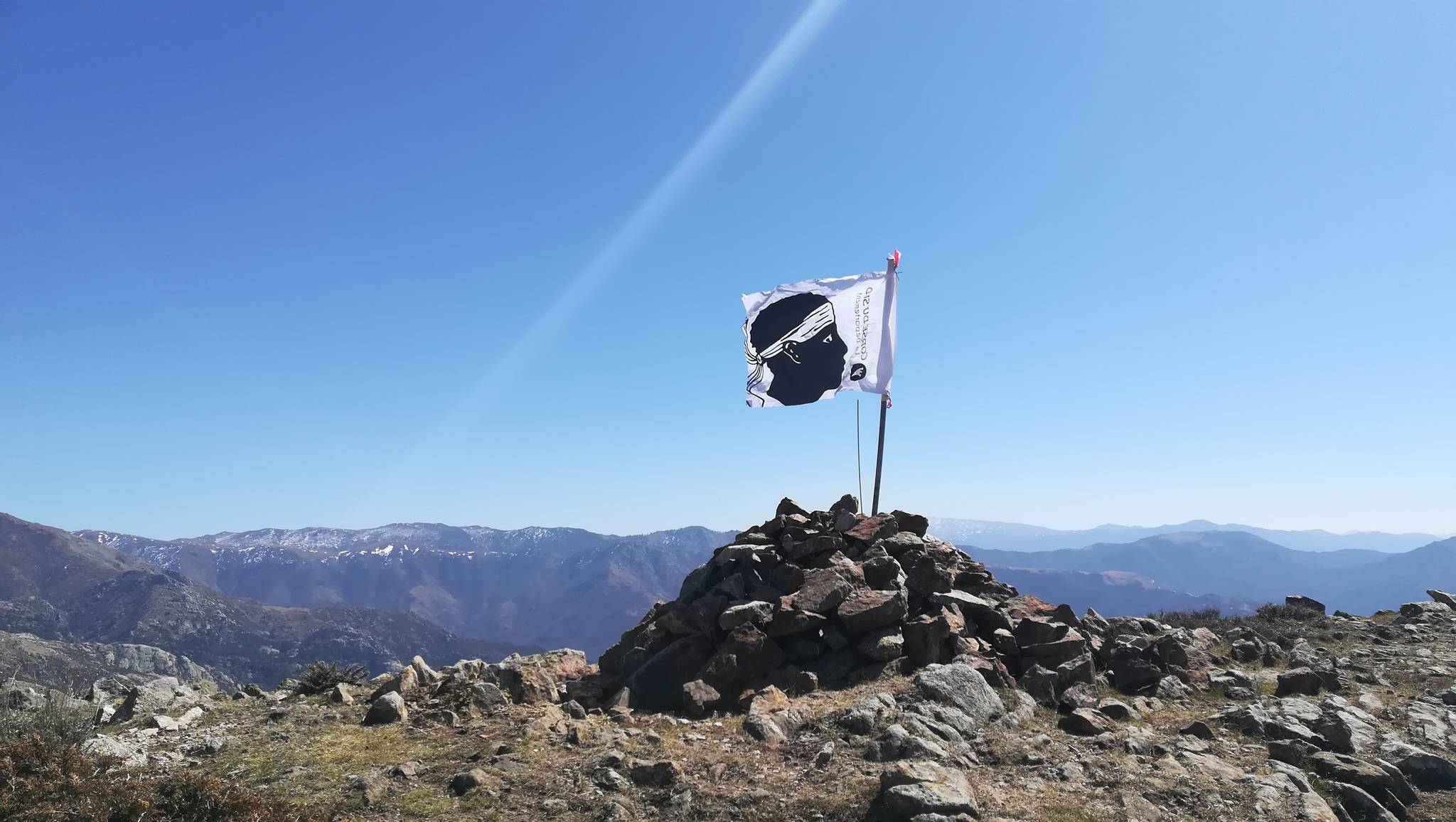
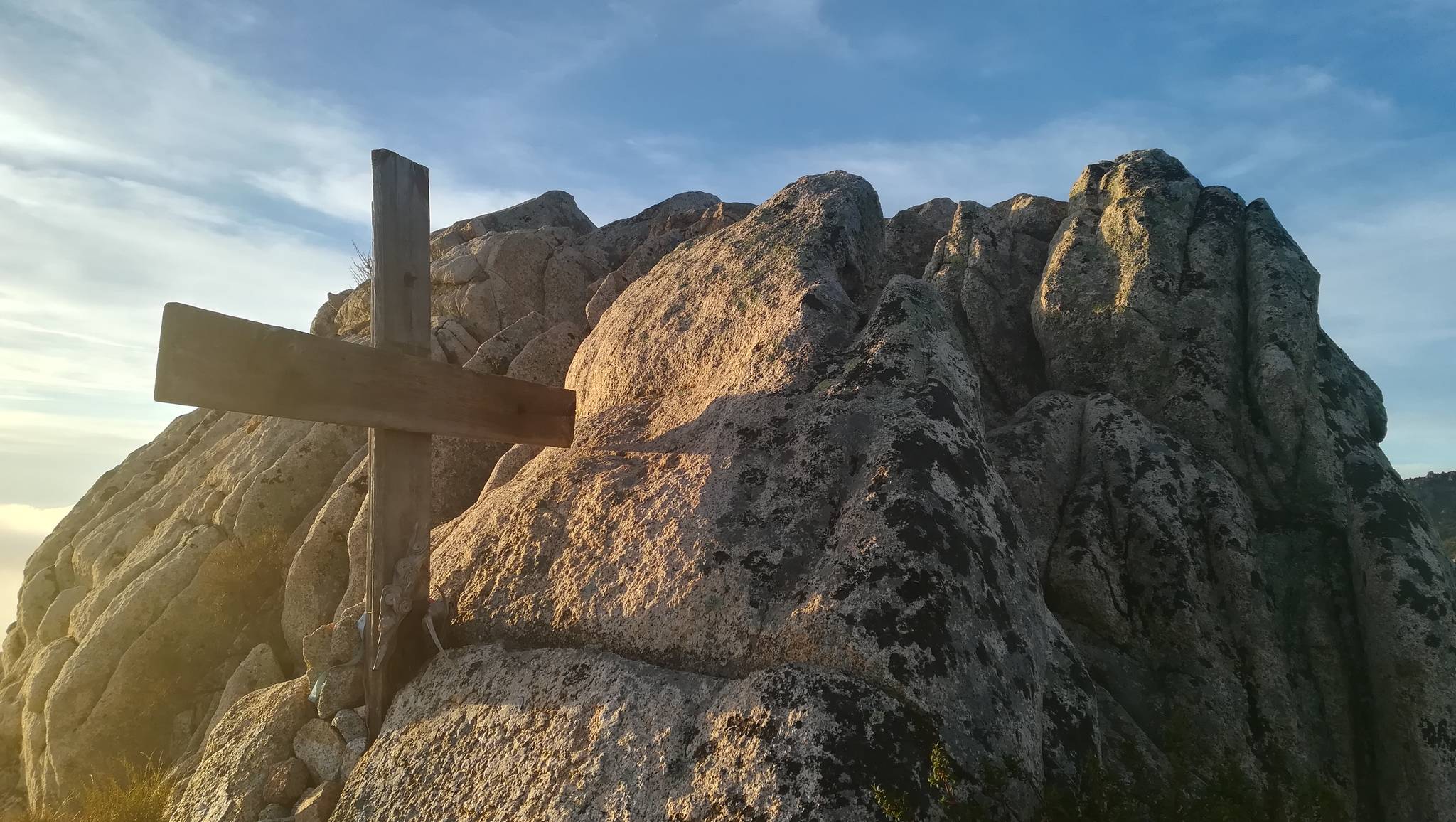
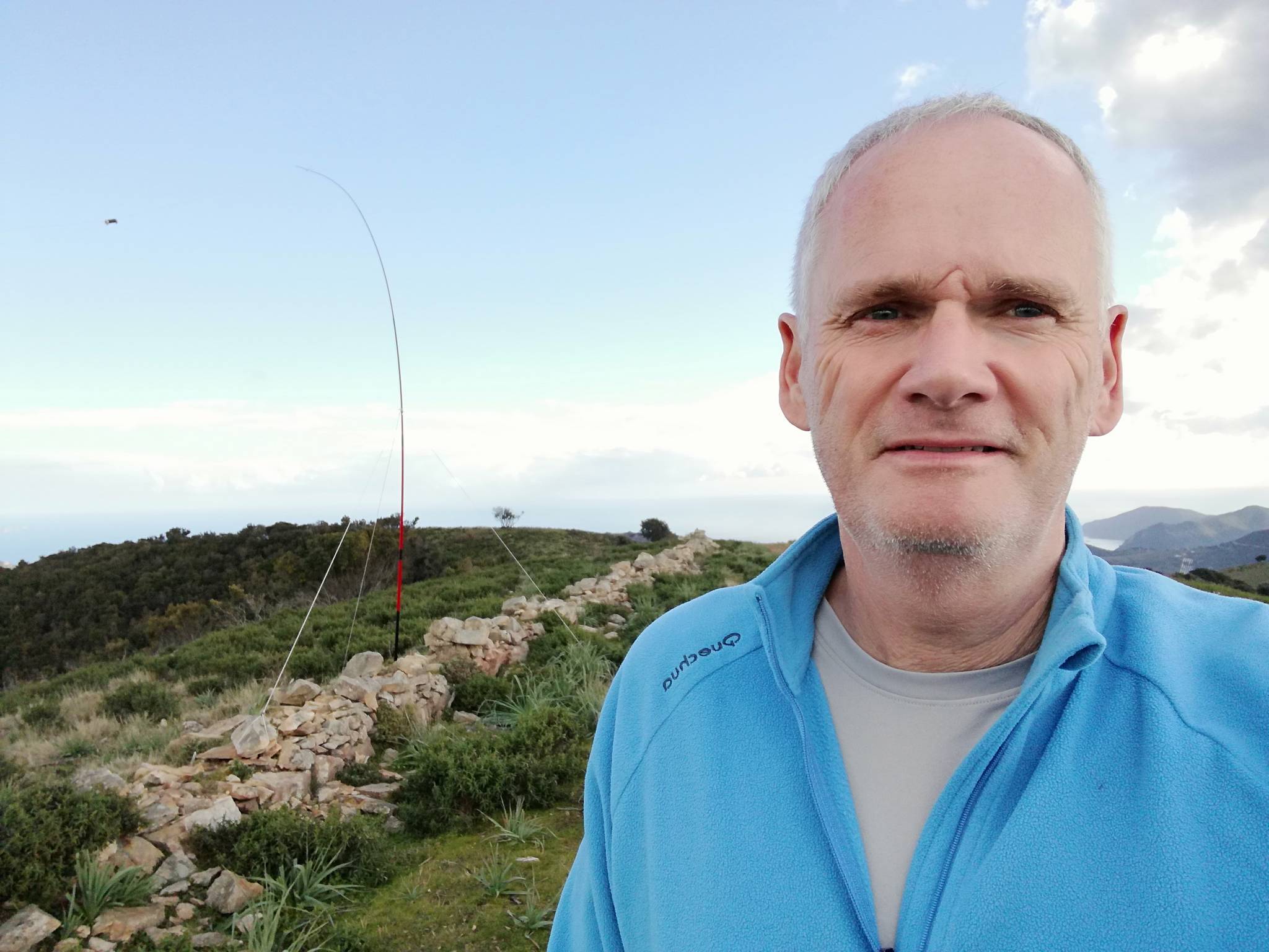
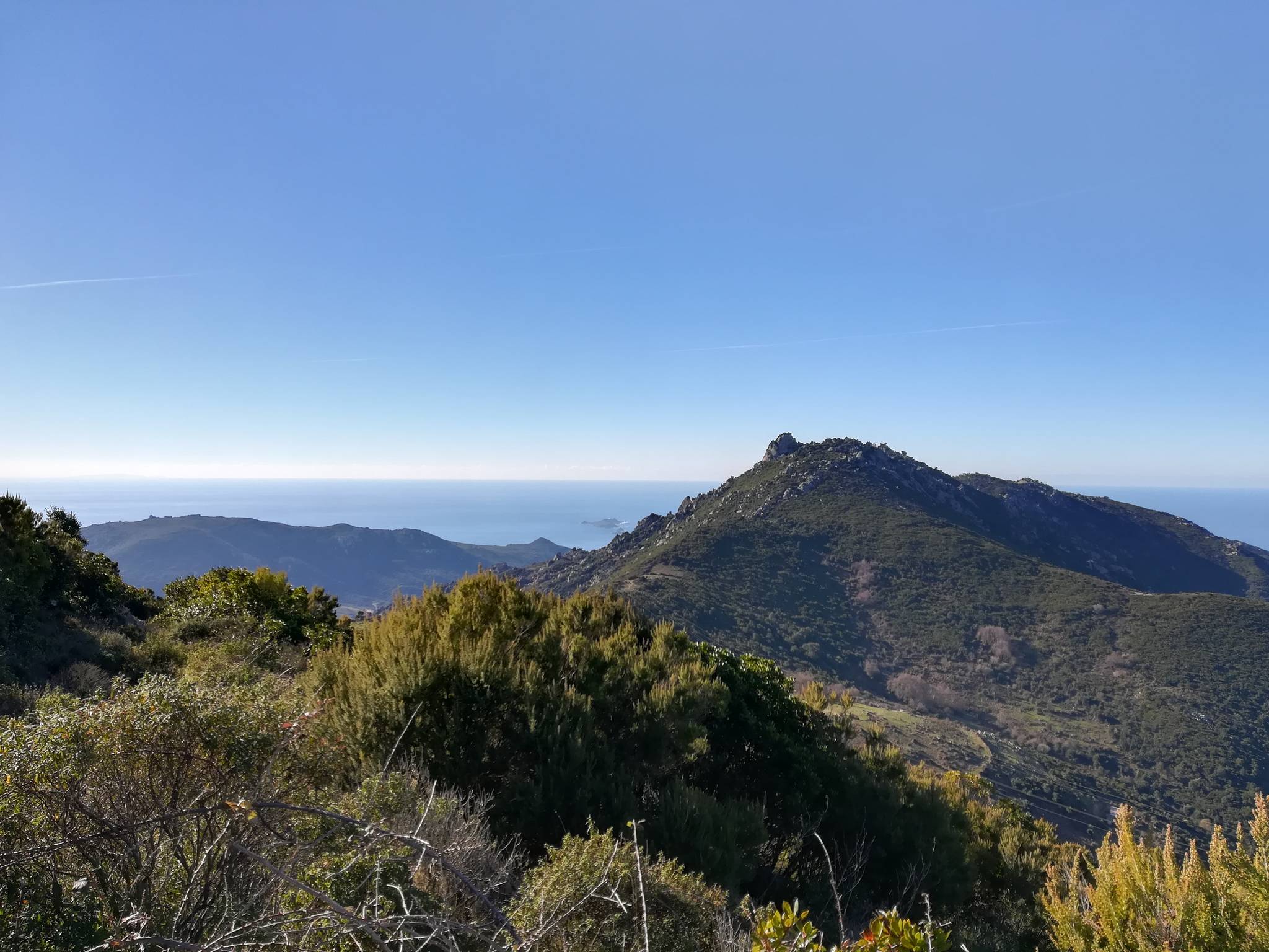
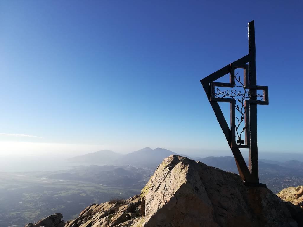
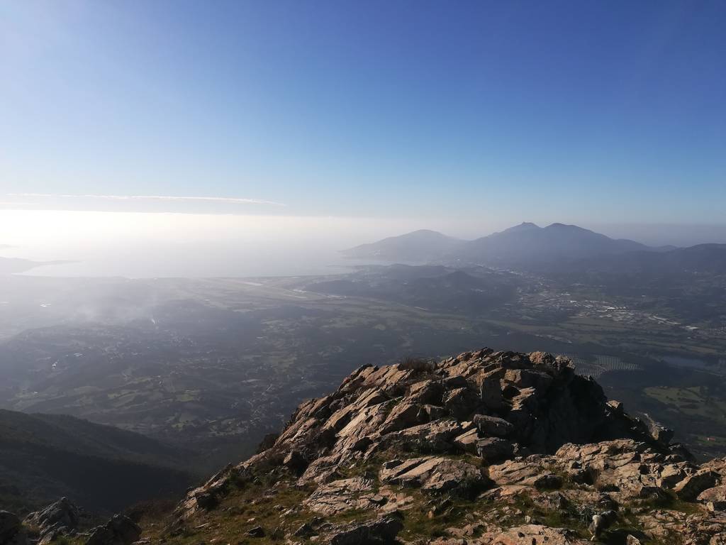
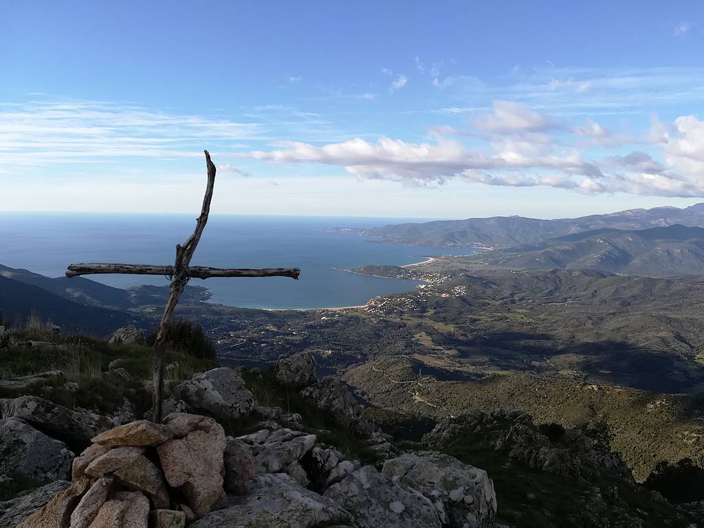
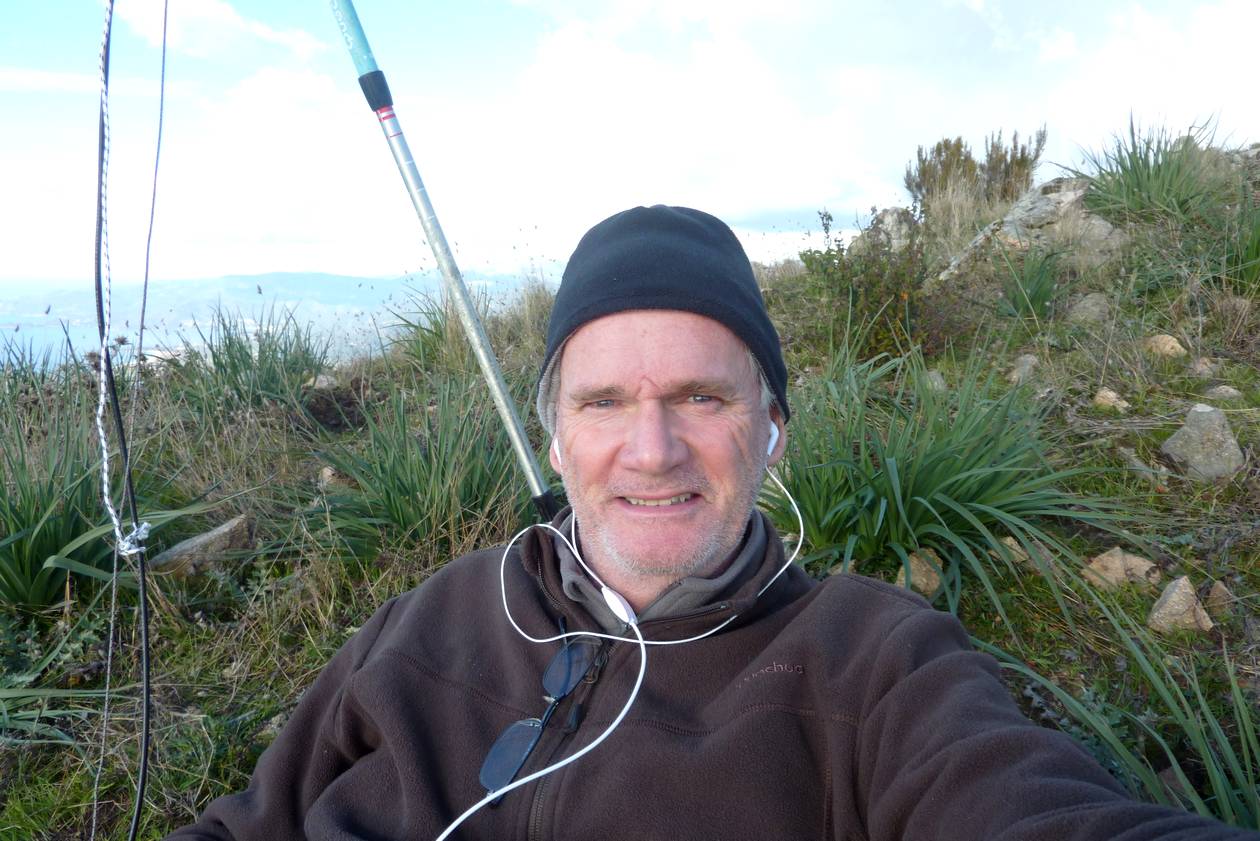
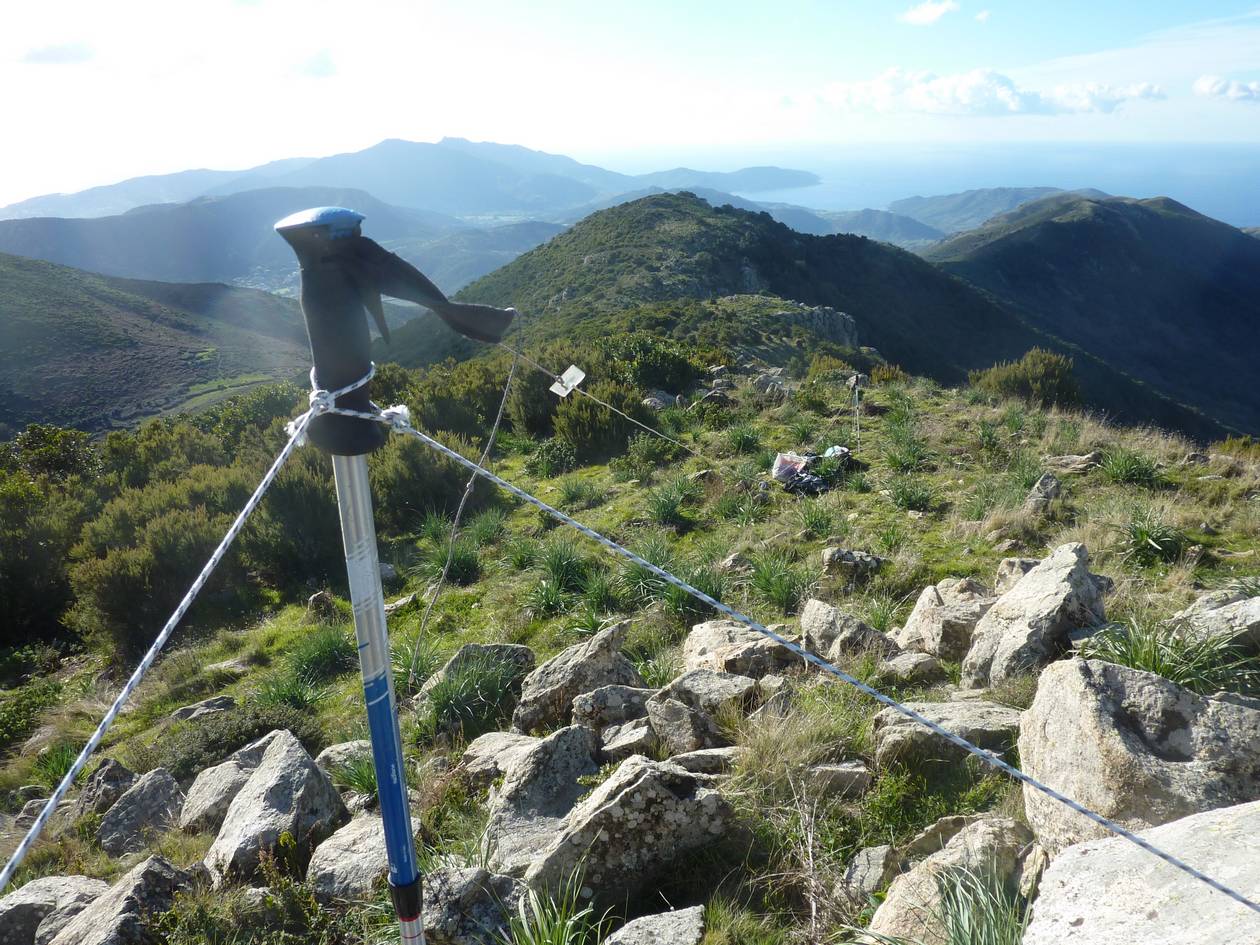
| june 22 2019 Capu à Cuccula SOTA Ref : TK/TK-025 Locator : JN42KH11 ASL : 2049 m |
 |
Nice hike with a very nice view from the summit and a beautiful cross on top. About 13 km long and + 1000m climbing.
I started from the parking along the road close to the "Païsone d'Aïtone". The path is rather tricky to follow, too many stones showing different directions, more specificaly in the forest.
My tracks seems to be the safest way to reach the summit.
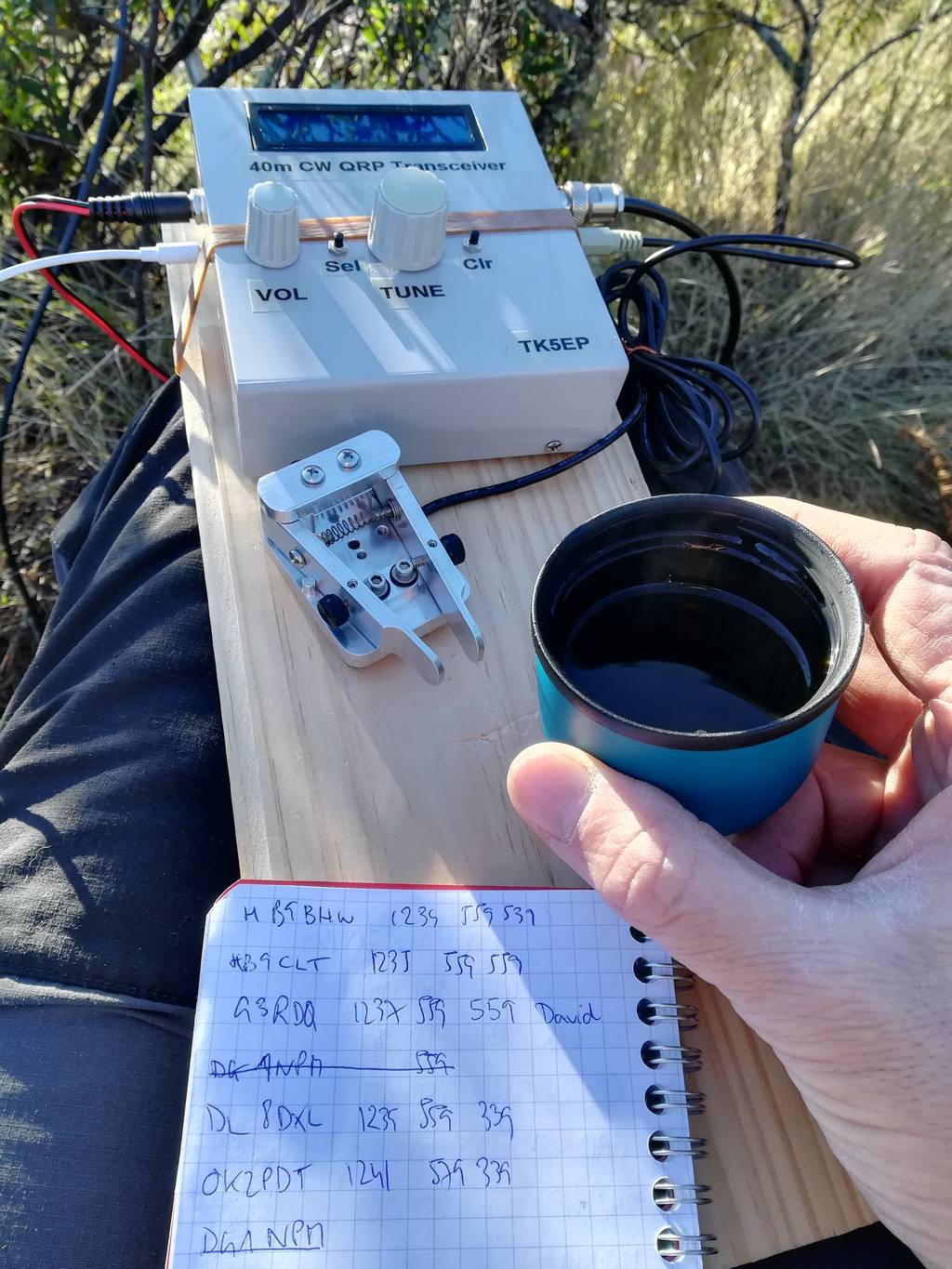
Not too much activity and some QRN led to only 20 QSOs with 2 S2S.
- Details
- Hits: 4754
march 24 2019
|
Punta d'Isa |
 |
Short walk to this summit but very steep, +420 m for 1,5 km...
33 QSOs from which 7 S2S, all on 40 m CW ! CW rocks !!
A log sheet was blown away by the wind and stayed in the air for about 5 minutes, went very high above me and had the good idea to fall down only a few meters away...
- Details
- Hits: 4219
march 3rd 2019
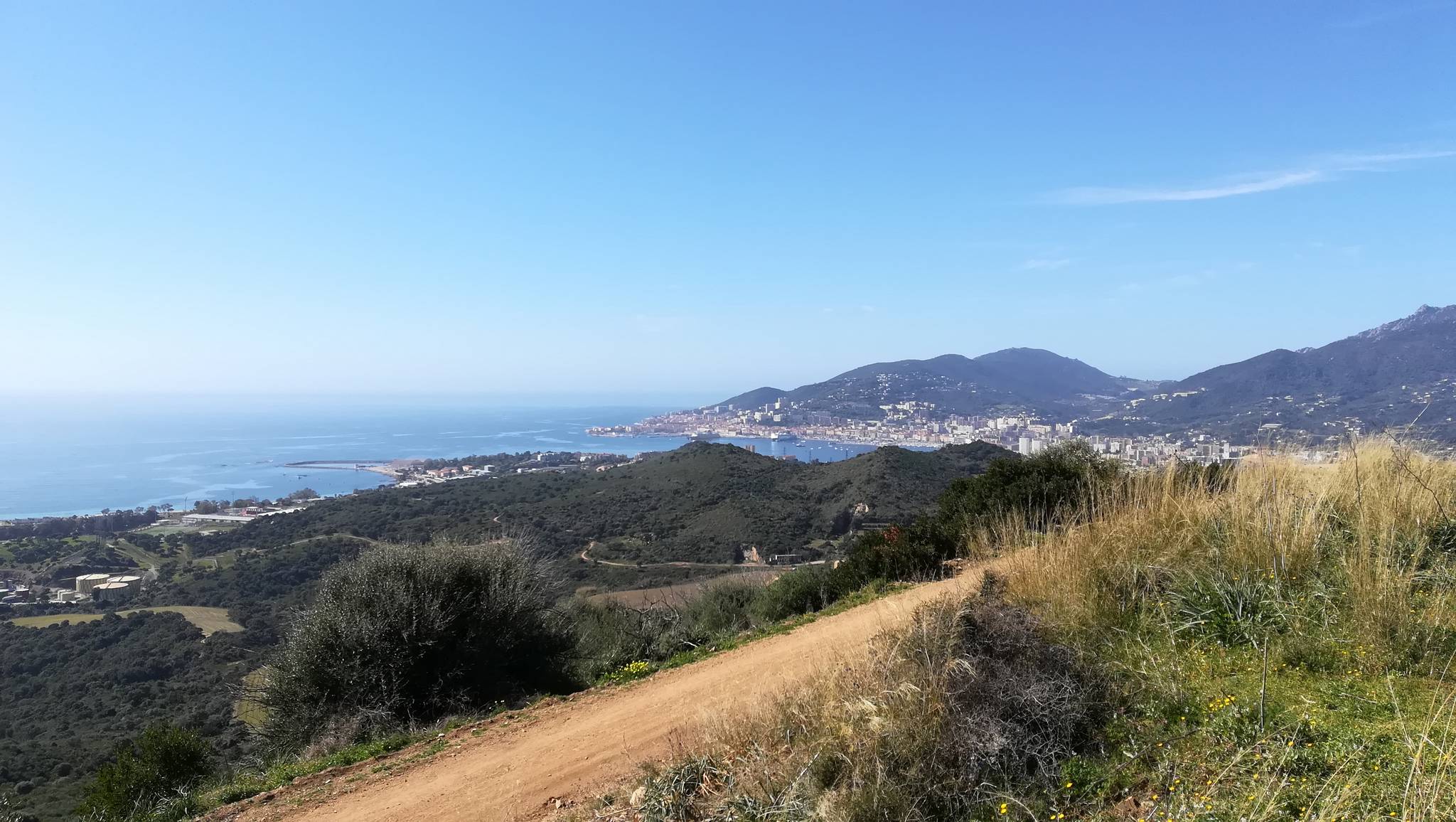
| Cinaraggia SOTA ref : TK/TK-146 Locator : JN41iw11 Asl : 528 m |
 |
This summit is the highest point of the north rim of the Gulf of Ajaccio. It is a easy one as it is on a very popular track "Le sentier des crêtes", the crest road which follows the coastline from the city center to the slopes of Sanguinaires. Lasting three hours, this path is accessible to everyone, and offers exceptional views of the coast, plunging views balcony above the sea. This path allows a botanical discovery of the natural environment in mountain.
- Details
- Hits: 3691
march 3rd 2019
Monte Sant'Angelo
SOTA ref : TK/TK-162
Locator : JN41JW46
Asl : 238 m
This summit has been added to the SOTA list a week ago and is now probably the easiest summit for me...
A communication tower is on top of it, and when you're there you understand why ! It is in the middle of the gulf and of the industrial and urban zone.
The top is flat and can be reached by car or bike.
I made my best results so far from this summit. Was it due to good conditions or good location, the future will say.
I made 49 QSO and a few S2S, all on 40 m CW. I will be back with more bands.
 |
 |
||
- Details
- Hits: 3805
| 16/02/2019 Punta Sant'Eliseo SOTA ref : TK/TK-073 Locator : JN42kb53 Asl : 1271 m |
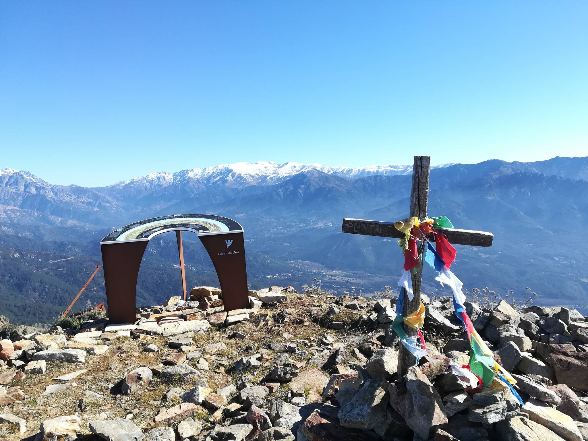 |
Nice weather, no wind and a need of some physical activity convinced me to activate a summit.
TK073 Sant'Eliseu has never been activated before, is not very far from home but needs about 800 m climbing.. The right candidate !
The path is clean and well marked, so no problem. I already visited this summit several times before but without any radio...
Randonnée Tavaco - Sant'Eliseu (in french)
- Details
- Hits: 3859
| 2 march 2019 Punta Tirulellu SOTA ref : TK/TK-049 Locator : JN42la82 ASL : 1541 m |
 |
This summit has never been activated before and i never have been on it. The WX forecast was good ,so it was time to activate it !
The track is marked with yellow stripes until you reach the pass "Bocca Pazzara" where you leave the track and must stay on the ridge line until the summit.
It took me 2 h 45 min to reach the summit and both ways are 13.31 km long.
- Details
- Hits: 3995
| 20/01/2019 Punta Cuzzanicciu SOTA ref : TK/TK-095 Locator: JN41ku64 Asl : 1059 m |
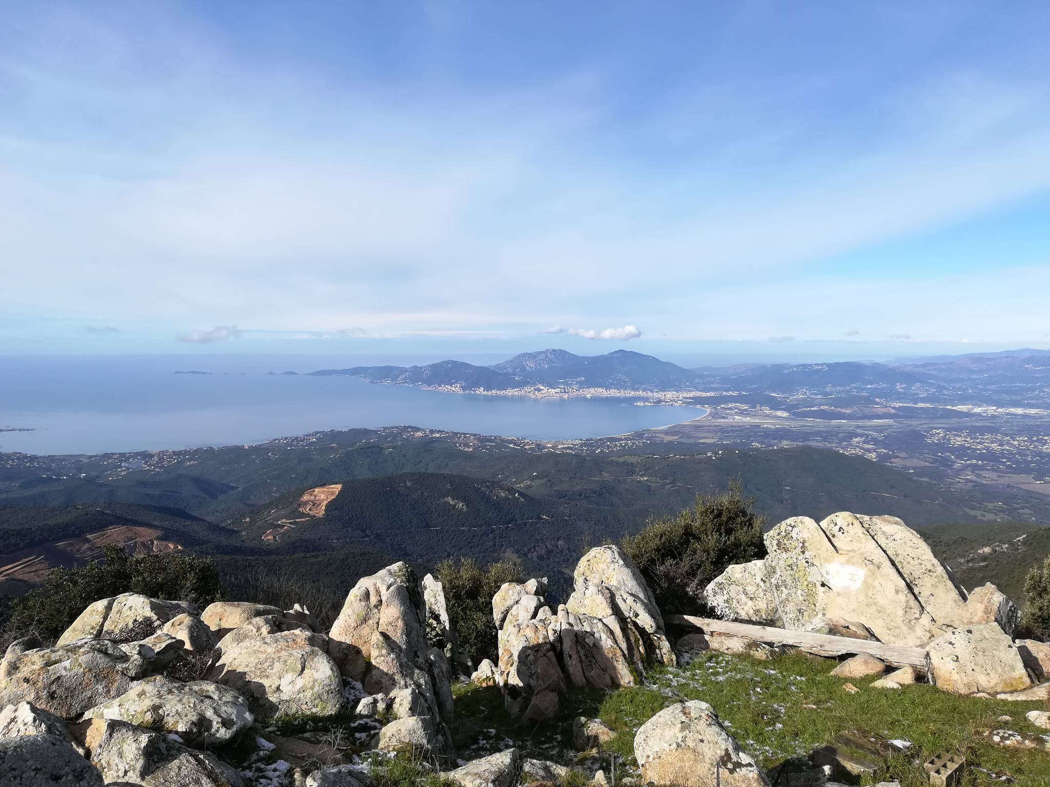 |
This is the first 2 points summit i've activated.
The track to this summit is clean as most of it uses the "Mare a mare centre" path that crosses the island from West to East. At some point, you leave this path and there is a small track marked with stones that brings you to the summit. It takes about 1,5 hours and 600 m altitude gain.
On the summit, there are a few professionnal radio repeaters. The towers and solar pannels are poorly maintained...
The view is magical ! I saw the island of Sardinia and the smaller islands North of it... The gulf of Ajaccio laying at my feet.
- Details
- Hits: 4030
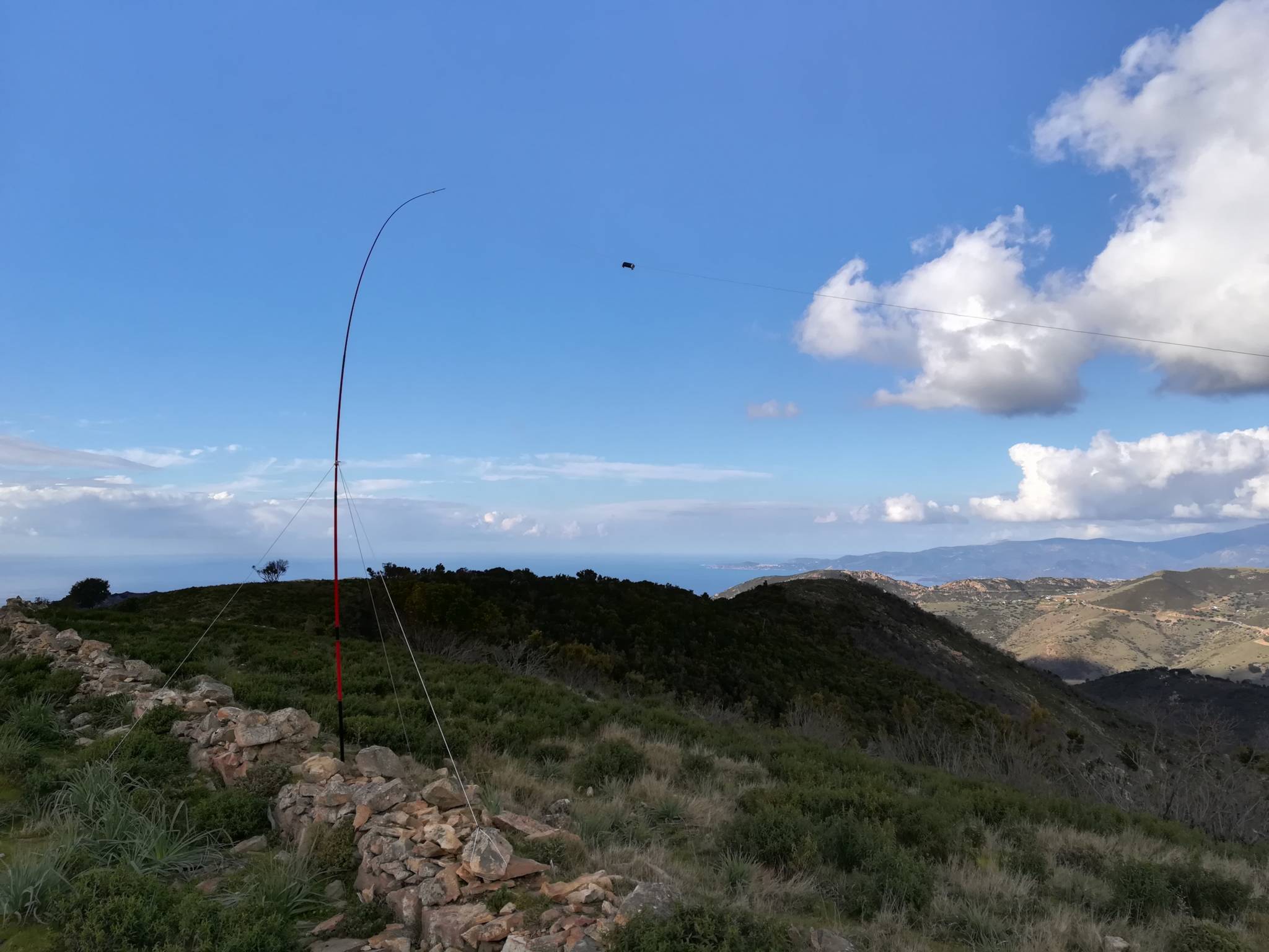
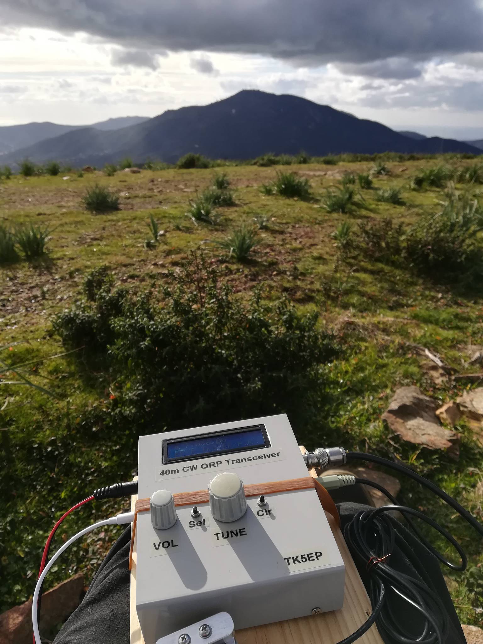
19/01/2019
Urticelli
SOTA ref : TK/TK-140
Locator: JN41ix95
Asl : 573 m
This is a very easy summit to reach, a very short 30 min walk and you're there. Almost to easy !
The view is very nice in all directions and the summit is flat and grassy, which is rather rare in Corsica ! I will activate it again later in the season and i have more bands to activate. This can be an after work evening activation...
The setup went quickly and without any problem. I've been QRV in a very short time.
Once powered, the QCX was receiving CQ TEST on 7032 MHz. Noooooo, NOT AGAIN ! Contests are a real plague for QRPers !
I managed to work only 19 stations on 7036 MHz, after that i had no more answers and i stopped my activity.
Two S2S contacts anyways... :-)
 |
 |
 |
- Details
- Hits: 4408
12/01/2019
Punta Lisa
SOTA ref : TK/TK-123 (first activation ever)
ASL : 791 m
Locator : JN41iw17
 |
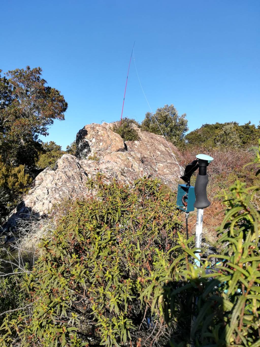
Nice WX today even if very cold (for us), i decided to activate summit TK/TK-123 Punta Lisa that has never been activated before. The climbing is easy and no problem to find the path. Climbing to the real summit needs some moutaineer skill and equipment, so i decided to install my station a little lower between the rocks shaped by erosion. You can imagine animals in these strange shapes. I tried a new 5m fishing pole which is lighter and much shorted once folded, but it is definitively too flexible. The EFHW is pulling too much and the pole bends a lot, the usable height is rather low ! It took me a long time to find a correct setting amongst the rocks... |
- Details
- Hits: 4127
06/01/2019
Monte Aragnascu also named Monte d'Ignascu
SOTA ref : TK/TK-110 (first activation ever)
Locator: JN41kw48
Asl : 888 m
Weather forecast was fine, so i decided to try to activate TK/TK-110 Monte Aragnascu that has never been activated before.
The path is very clean, no problem to reach the summit after about one hour hiking and 350m climbing. There were already some people building up a fire to roast some "Figatelli", a corsican sausage made with pork liver. So i decided not to disturb and went a few steps down.
A lot of hikers came later when i was erecting the antenna. "What do you want to fish here ?" was the question i had to answer the most !
 |
 |
 |
 |
- Details
- Hits: 4117
04/01/2019
Punta san Sisto
SOTA ref : TK/TK-111
Locator : JN42ja55
ASL : 876 m
Second SOTA activation for me...
Close to my home, Punta San Sisto ref TK/TK-111 has never been activated before. So, i was hoping for a good activity.
 |
 |
 |
 |
- Kazançlı bir başlangıç yapmak için deneme bonusu sunan bu siteye göz atabilirsiniz.
- Fırsatlarla dolu deneme bonusu veren siteler arasında öne çıkan bir seçenek burada.
- Yeni üyeler için özel bonus veren siteler, avantajlı teklifleriyle dikkat çekiyor.
- Kullanıcı memnuniyetine odaklanan bonus veren siteler, eşsiz fırsatlar sunuyor.
- Güvenilir bir deneyim için deneme bonusu veren siteler, kazanç kapınızı aralıyor.
- Hızlı kazanç fırsatı sağlayan deneme bonusu seçeneklerini keşfedin.
- Avantajlı teklifleriyle deneme bonusu veren siteler, yüksek kazanç imkanı sunuyor.